
Looking for the ultimate Blue Ridge Parkway itinerary from Asheville, NC to have the best time? You’re in exactly the right place.
Blue Ridge Parkway – dubbed America’s Favorite Drive – is the country’s longest linear park. The speed limit here is set at 45 mph, but it may drop to 25 to 35 mph at times, so be mindful!
I was conflicted when writing this. Should I call this post a Blue Ridge Parkway itinerary or an Asheville itinerary? Or a Western North Carolina road trip itinerary?
The fact of the matter is that the entirety of this itinerary is not on the Blue Ridge Parkway, though most of it is, or is very close by.
While Asheville is the center of this itinerary and is definitely the biggest major city in this area, it’s not quite an Asheville itinerary since not much time is spent in Asheville.
And this doesn’t explore all of Western North Carolina, though all of it is within this broad area.
So, after careful deliberation, I’m deeming this a Blue Ridge Parkway Road Trip itinerary from Asheville. More specifically, here you’ll find the best hikes, waterfalls, scenic nature spots, and things to do in and around Asheville and along the Blue Ridge Parkway.
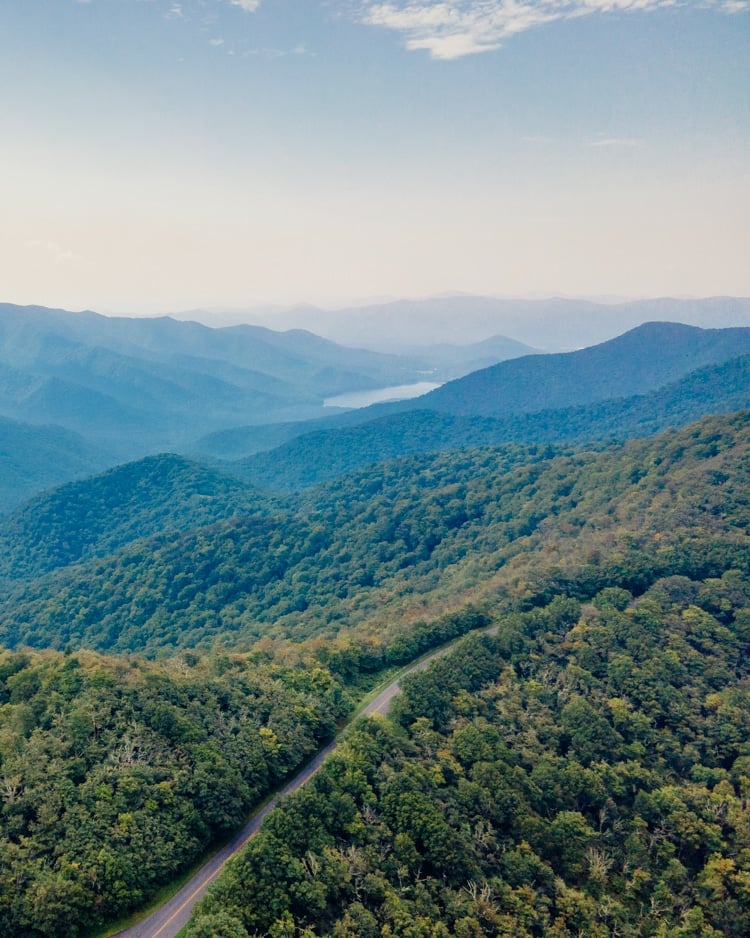
I’m making this a 4-day itinerary (5 days if you include my “day 1” which is arriving in Asheville) but you can easily cut out days from the itinerary if you have less time.
You’ll find a map with all of the points of interest from this itinerary at the end as well!
I’ve also included a video of highlights from my trip below!
(If you don’t see a video player below, you may need to disable your ad blocker!)
Tip: Before heading out, don’t forget to check this page for possible road closures (which go all the way to Roanoke). You wouldn’t want your trip to be adversely affected by unexpected road blockages, after all!
So, with that out of the way, let’s get to it! Here is the ultimate Blue Ridge Parkway itinerary from Asheville!
Day 1: Start your Blue Ridge Parkway itinerary in Asheville, NC
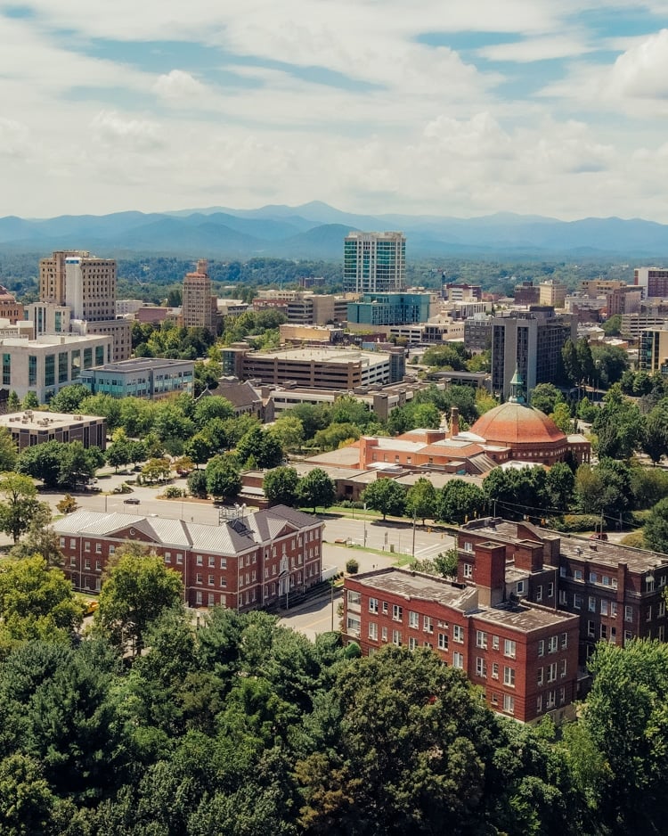
Fly into Charlotte, NC, or Greenville, SC, and drive to Asheville, which will be your home base for the next two nights.
We stayed at the Village Hotel at Biltmore Estate for two nights.
Day 2: Hikes and activities in and around Asheville
Tanbark Ridge Overlook
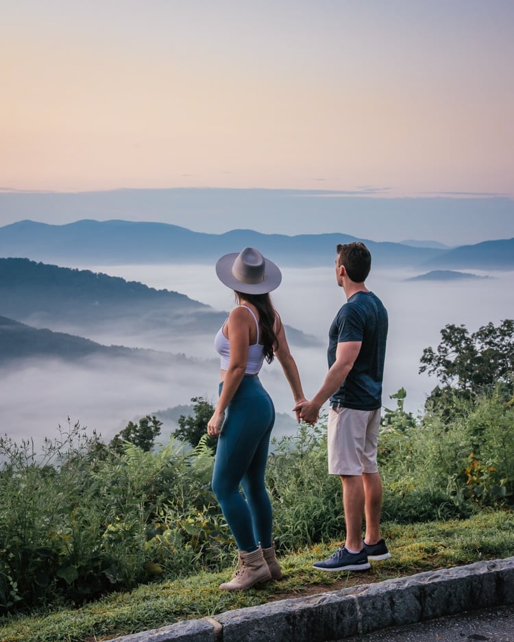
Start the day by watching the sunrise at the first of the various overlooks we’ll be visiting on this trip – the Tanbark Ridge Overlook. It’s on the way to the next spot, and it’s a simple pull-off on the Blue Ridge Parkway. It’s located around 20 minutes north of Asheville, so make sure you leave your hotel early enough so that you don’t miss the sunrise!
Drive time to next stop: 23 minutes
Craggy Pinnacle Hike
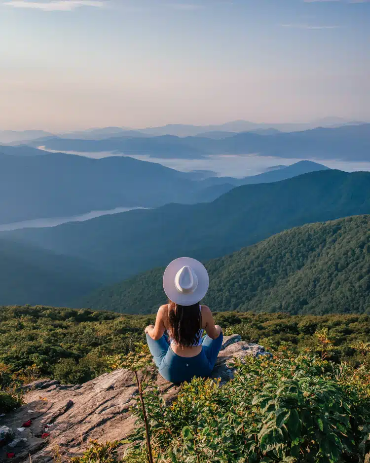
This 1.4-mile round-trip hike, located at Milepost 364.1, brings you to my favorite view of this entire Blue Ridge Parkway itinerary near Asheville! From the previous spot, keep driving on the Blue Ridge Parkway and go past the Craggy Gardens Visitor Center. You’ll drive north through a short tunnel and you’ll see a left turn which brings you to the hiking trail’s parking area and entrance.
Along the hike, you’ll climb 252 ft. in elevation. It’s a relatively easy hike that is free to do and offers tremendous views. Even the hike itself is beautiful. It feels like you’re in some sort of fairytale forest! With practically panoramic views, it’s a great spot to watch both the sunrise and sunset.
Drive time to next stop: 26 minutes
Mount Mitchell State Park
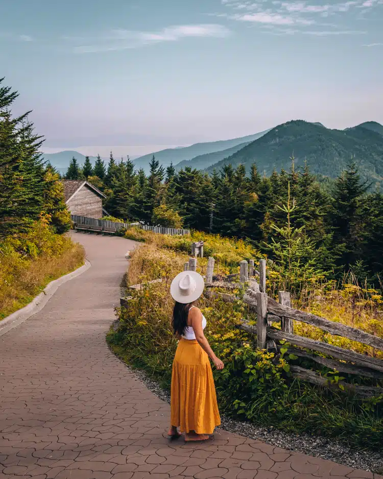
Continue north on the Blue Ridge Parkway to visit Mount Mitchell State Park. Mount Mitchell is the tallest peak east of the Mississippi! While you can hike to the top, it’s much easier to drive all the way to the parking lot at the summit. From there, it’s an easy walk on the short, paved, accessible trail to the overlook.
Note: Google Maps had some difficulty navigating here when we plugged in “Mount Mitchell State Park,” so instead plug in “The Balsam Shop” or “Mt Mitchell Museum,” both of which are located near the summit by the parking lot.
Drive time to next stop: 1 hour 10 minutes
Home Ground Coffee Bar & Deli
After your morning on the Blue Ridge Parkway, return to Asheville for brunch/lunch. While you have many great options, we chose to have brunch at the Home Ground Coffee Bar & Deli. I got the bagel special, Harrison got some chili, and we each got a smoothie – but they offer sandwiches too if you want a hearty snack. Yum!
Drive time to next stop: around 10 minutes
Biltmore Estate
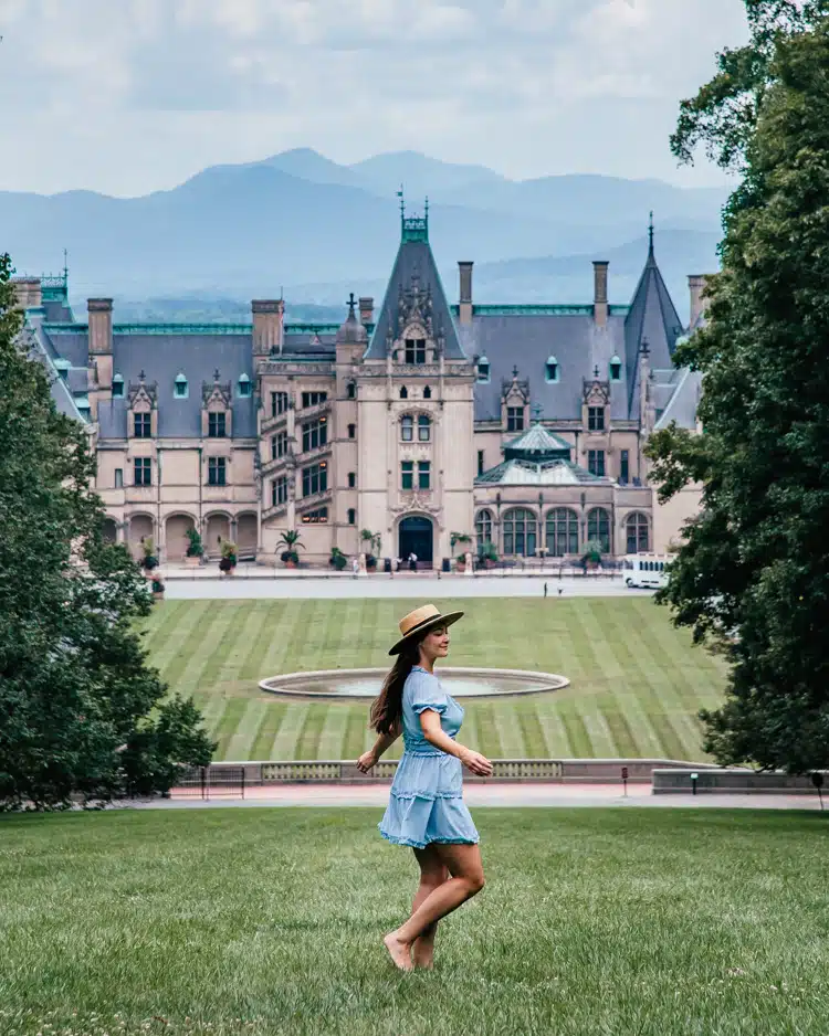
Next, block off a large chunk of your day to explore the magnificent Biltmore Estate.
Drive time to next stop: around 15 minutes
Alternate Option
If you’d rather pack your day in Asheville with more adventure, this part of North Carolina is known for great white water rafting! At the time of writing, this tour has two daytime options (10 am and 2 pm) and starts at $65 per adult. It goes down the French Broad River from a departure point just 30 minutes from downtown Asheville.
Dinner in Asheville
Following your day exploring all that the Biltmore has to offer, you’re bound to be hungry! A great upscale dinner choice is Posana Restaurant. If you’re looking for something more casual that is still in downtown Asheville, head to Farm Burger or Tupelo Honey. Alternatively, go to the White Duck Taco Shop (just slightly outside of the downtown area) for the best tacos in Asheville. I ordered the fried chicken BLT, the gyro, and the fish taco and they were some of the best tacos I’ve ever had! If you’re hankering for a light beer or two, you can check out Asheville’s brewery scene for a beercation getaway (but don’t drink too much!).
PS. You’ll want to eat an early dinner if you plan on heading to the next spot for sunset!
Max Patch
If you have enough energy and the sky looks promising, Max Patch is a local’s favorite for sunset! The kicker: it’s just under 1.5 hours away. We would’ve gone to Max Patch if it hadn’t been storming all afternoon with a completely cloudy forecast for sunset. To get to the summit at Max Patch, you’ll go on a 1.5-mile loop. It’ll take around 20-25 minutes to get to the summit, so keep an eye on the clock so that you’re there before the sun sets!
Drive time to Asheville: approximately 1.5 hours
Village Hotel at Biltmore
Return to your hotel and try to fall asleep early if you’re waking up for sunset tomorrow (I highly recommend it!).
Day 3: Hikes and waterfalls southwest of Asheville
Mills River Valley Overlook

Time for another dreamy sunrise in the Blue Ridge Mountains! This spot is around 40 minutes away from the Village Hotel at the Biltmore, so we left at around 6:10 am to make it in time for a 7 am sunrise. Don’t forget to check the exact time of sunrise for your trip so that you don’t miss it! Sometimes the sky is the prettiest right before the sun comes up, so keep that in mind, too!
Drive time to next stop: 10 minutes
Fryingpan Mountain Lookout Tower
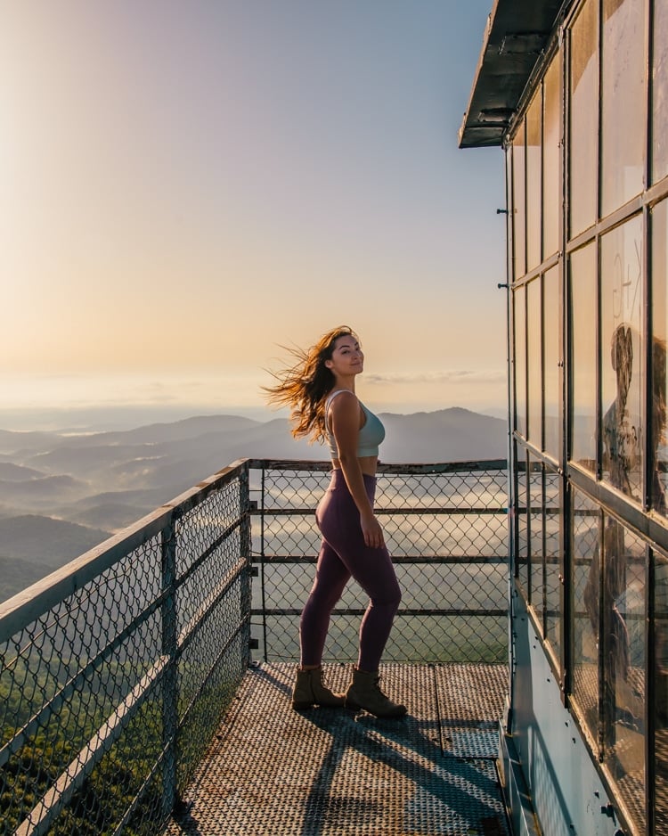
To get to the Fryingpan Tower Hike, navigate to “Fryingpan Gap” on Google Maps, instead of to the tower itself. That way, you’ll end up in the correct spot, instead of driving past it as we did. As you’re driving on the Blue Ridge Parkway from Mills River Valley Overlook, you’ll see a pull-off area on your right. If you’ve gone through Fryingpan Tunnel, you’ve gone too far!
Park on the pull-off and embark on the 1.5-mile out-and-back trail. It’s quite steep, almost entirely uphill on the way there! Then, when you get to the tower, you’ll need to climb up a few flights of stairs to get to the top.
Here’s the kicker: going all the way up to the top may or may not be possible when you visit. There was a partially shut metal cover at the top of the stairs that had been pried up. So we were able to shimmy through the opening to get to the lookout. (I’m not sure if this is legal or not. But I’ve seen plenty of photos from this spot, and there are no signs explicitly saying you can’t go up to the top.)
The views are beyond epic, but this is definitely not a hike for those with a phobia of heights!
Drive time to next stop: 19 minutes
Black Balsam Knob
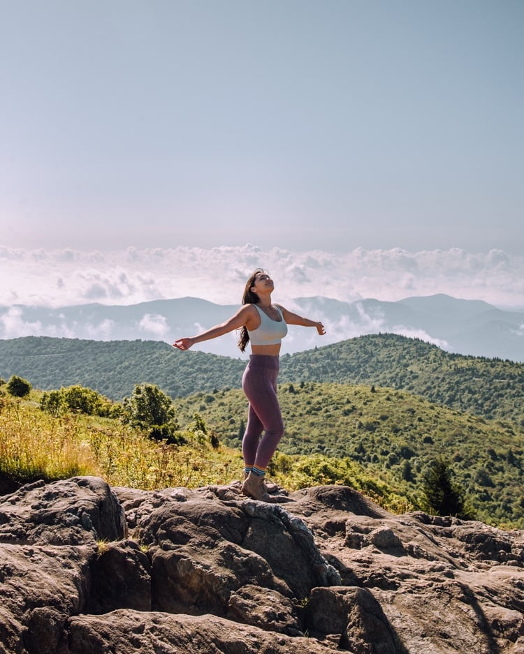
Keep going down the Blue Ridge Parkway to do the Black Balsam Knob hike. It’s a 2-mile round-trip to Black Balsam Knob, which is about a 1-hour hike. When driving there, you’ll see plenty of marked parking spaces on either shoulder of Black Balsam Knob Road.
While it has great views, I personally feel like you can find better mountain views directly from the Blue Ridge Parkway! But it is a scenic hike, nonetheless. You can even continue on instead of looping back around if you are looking to do lengthier hikes!
Drive time to next stop: 33 minutes
Looking Glass Falls
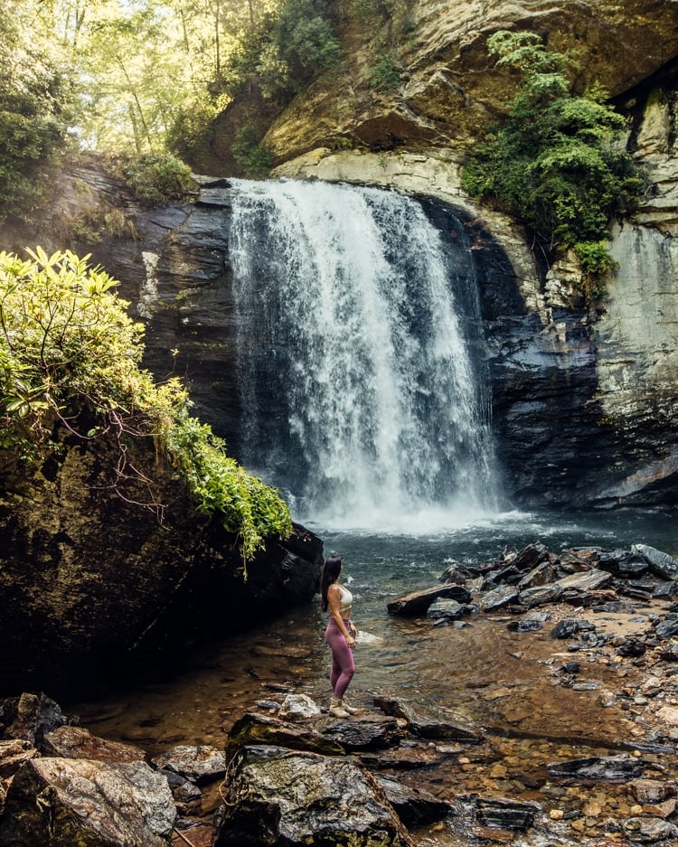
It’s time to take a detour off of the Blue Ridge Parkway! After visiting Looking Glass Falls, I understand why this waterfall is one of the most popular in the area. First of all, it’s one of the easiest waterfalls to view in the area. You simply park along the road, then walk right up to the viewing platform. If you want to get a closer look, you can go down the stairs to reach the lower observation deck. From there, there’s a gap where you can walk right by the falls. The area is rocky, so be sure to take careful steps!
Drive time to next stop: 17 minutes
Lunch at The Square Root
It’s time for lunch! Head into Brevard for a yummy break at The Square Root. After lunch, explore some shops in Brevard’s charming downtown area.
Drive time to next stop: 40 minutes
Courthouse Falls
Unfortunately, the road to Courthouse Falls was closed when we went, probably due to the rain on previous days.
But here is some information on how to get there! You’ll turn onto a gravel/dirt road from the main highway. My sources say that the road is well-maintained, so you shouldn’t need a heavy-duty vehicle to drive on it.
Once you reach the parking area, a 0.6-mile heavily trafficked out-and-back trail will bring you to this Bali-esque waterfall. When you are almost there, you’ll need to take a sharp left to get down to the bottom of the falls. While your GPS might say to take a left at a drainage ditch, don’t listen to it. Instead, go just a little further until you see another trail on your left that takes you down to the bottom. Expect 23 narrow stairs at the end to reach the falls.
Drive time to next stop: 1 hour 16 minutes
Cardinal Inn
In the afternoon, you’ll have some free time to relax or explore Maggie Valley.
We stayed at the Cardinal Inn in Maggie Valley for a night, which is perfectly situated for this Blue Ridge Parkway itinerary from Asheville. One thing I noticed throughout our trip is just how many roadside inns there are in this area. And the most charming thing is that so many of them have two rocking chairs out front of each hotel room! Cardinal Inn is no exception. It was comfortable and charming, and the owners there are very kind.
Dinner in Maggie Valley
We chose to eat at Brickhouse Burgers & Pizza, but other great options include The Valley House, Carver’s Maggie Valley Restaurant, and Guayabitos.
Thunder Struck Ridge Overlook
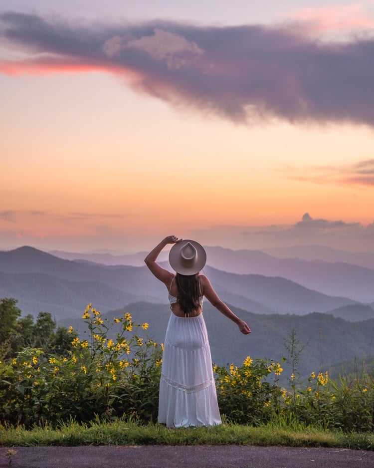
While it doesn’t face the sunset directly, this is the best closest overlook on the Blue Ridge Parkway near Maggie Valley for sunset. You’ll have fantastic mountain views just a short 10-minute drive away from Maggie Valley.
Winter option: Cataloochee Ski Area
If you’re staying in Maggie Valley in the winter and are looking for a fun place to ski, check out the Cataloochee Ski Area!
Day 4: Hikes and waterfalls around Great Smoky Mountains National Park
Browning Knob Overlook
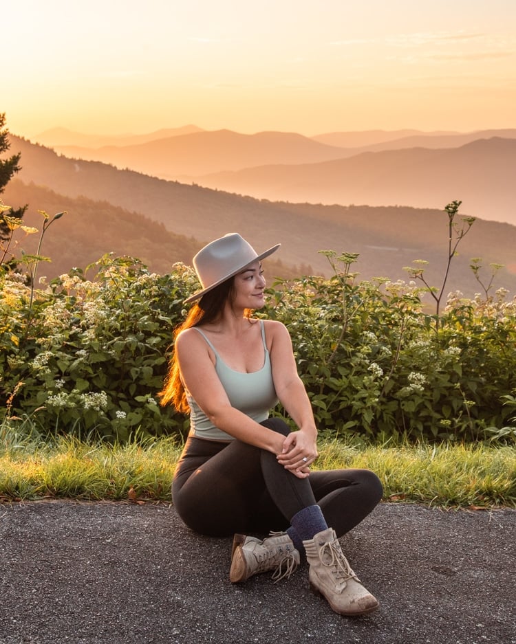
On Road to Waterrock Knob (that is actually the name of the road), you’ll pass this overlook. It’s just 17 minutes away from Cardinal Inn off of the Blue Ridge Parkway. We stopped at this overlook since the sun was already coming up and we wanted to get some good sunrise photos! Alternatively, if you woke up early enough and are comfortable hiking in partial darkness at dawn, you can skip this and start at the next spot, just a minute away.
Drive time to next stop: 1 minute
Waterrock Knob
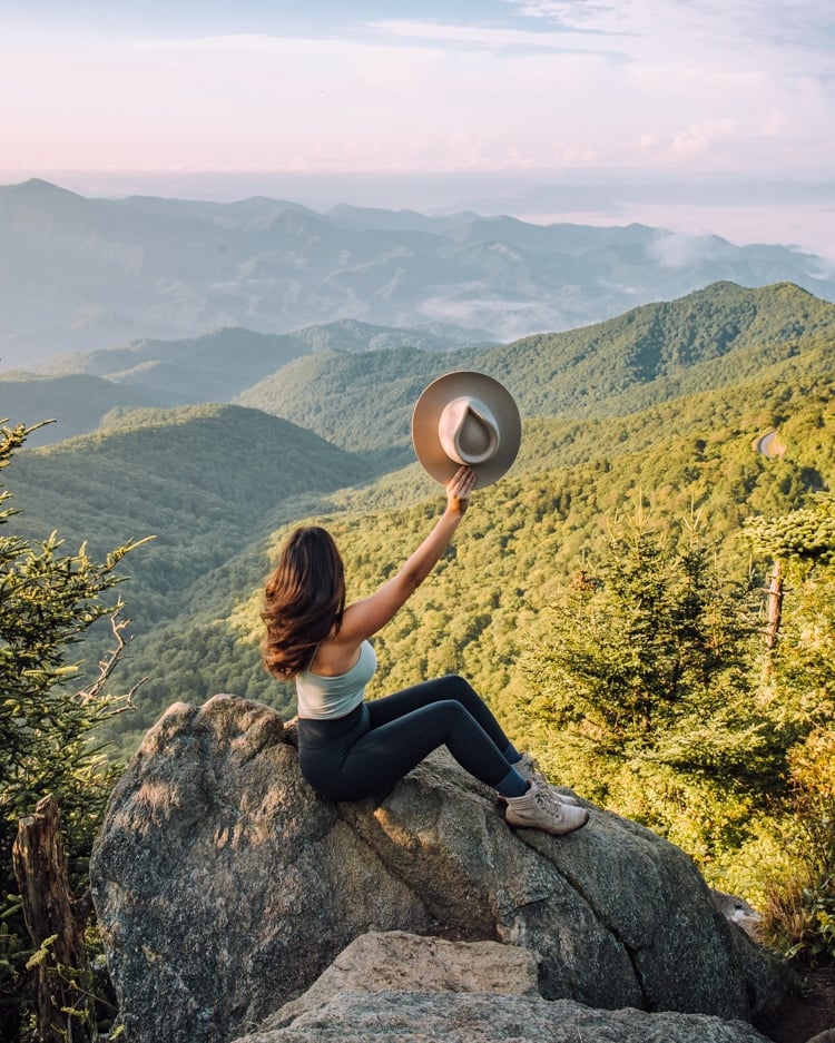
Continue on the Road to Waterrock Knob to embark on the steep but gorgeous Waterrock Knob hike. It is supposedly just a 1.2-mile round-trip, though it feels longer since the trail is quite steep, gaining 412 ft. in elevation. But once you reach the summit, you’re rewarded with epic views. If you’re looking for a longer hike or just really want to see a plane wreck, you can continue on!
How to get to the plane crash at Waterrock Knob:
On the final stretch up to the top of Waterrock Knob, along stone stairs, you’ll see an unmarked trail on your left. Follow it for a half-mile until you reach Browning Knob. From there, you’ll see another trail on your left. Take that trail for around 200 yards and you’ll reach the crash site (GPS coordinates 35.46354, -83.13207).
Drive time to next stop: 12 minutes
Soco Falls
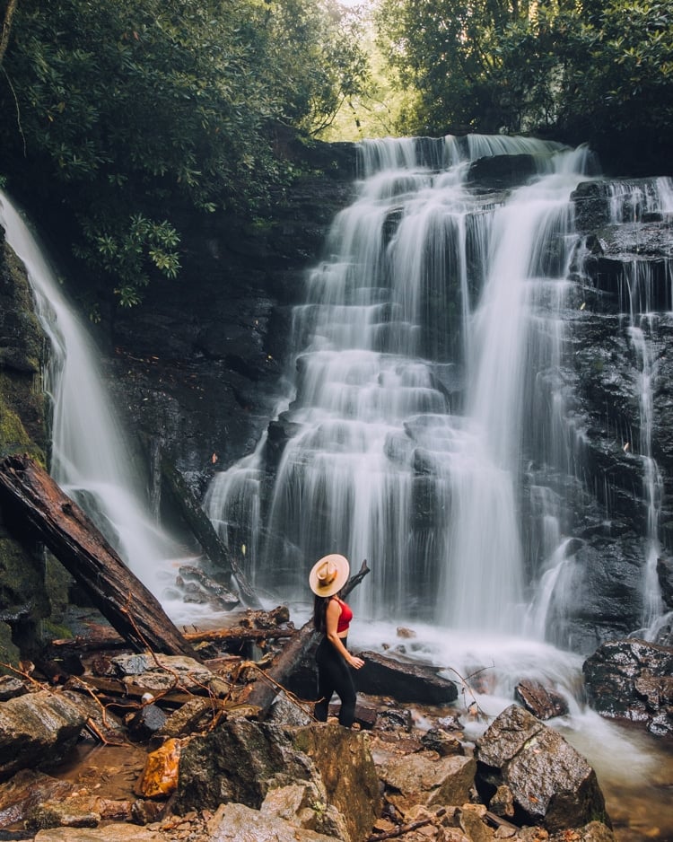
Next up, we’ve got the enchanting Soco Falls. This is my personal favorite waterfall in this Blue Ridge Parkway itinerary from Asheville! Not only is it stunning (it’s a double waterfall!), but it also doesn’t require a long hike to get to. To get to the parking area, you’ll see a small sign on the left of the road. Go to the left of the metal fence to find the trail.
The trail is only 0.2 miles, but it is steep. First, you’ll reach an observation platform. To the left of it, you’ll find a series of ropes that you can hold onto as you go further down the very steep trail to the bottom. Use the ropes! The trail can be very slippery. And if it has recently rained, definitely wear shoes you don’t mind getting dirty.
Drive time to next stop: 31 minutes
Mingo Falls
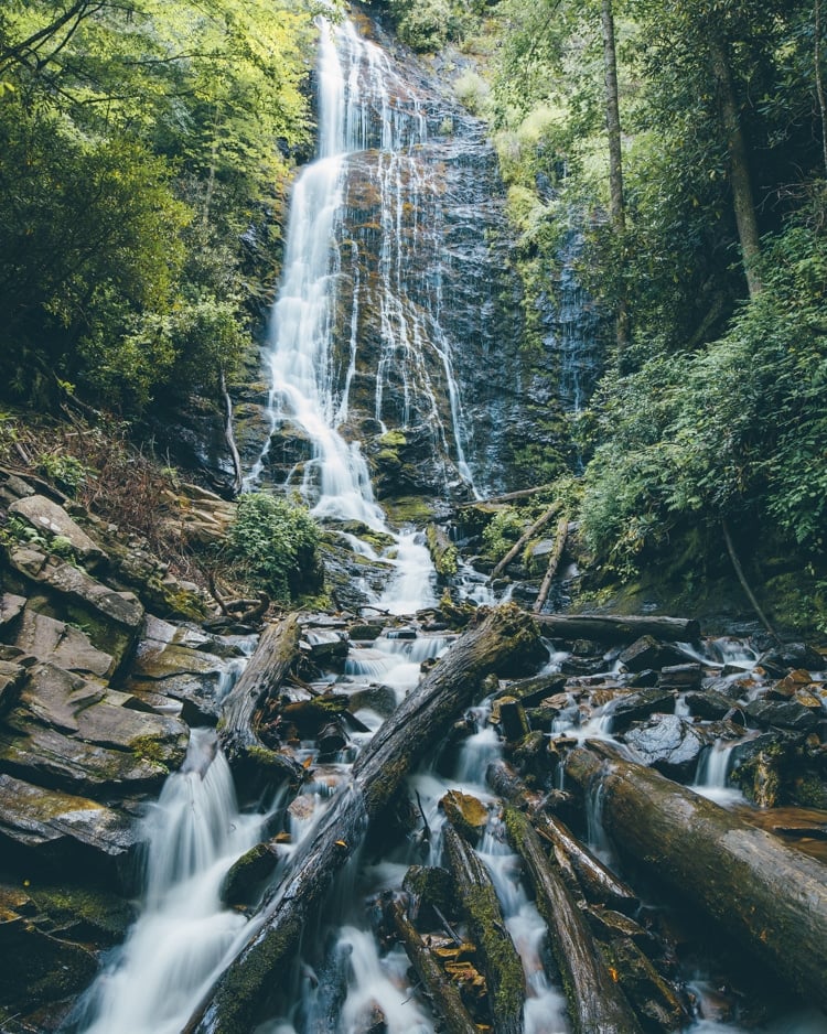
With a 120-foot drop, Mingo Falls is one of the tallest waterfalls in southern Appalachia. To get to Mingo Falls, you’ll follow a 0.3-mile heavily trafficked out-and-back trail that includes a 161-step staircase. At the top of the stairs, a short path leads you to the observation bridge at the base of the falls.
Drive time to next stop: 15 minutes
Mingus Mill
It’s time to head into the Great Smoky Mountains National Park for a bit of educational history. This national park has strong ties to the Eastern Band of the Cherokee Indians, which you can learn more about if you visit the Museum of the Cherokee People. Communities surrounding the Great Smoky Mountains National Park Region include Bryson City & Swain County, Franklin, Highlands, Macon County, Gatlinburg, Sevierville, and Pigeon Forge Area.
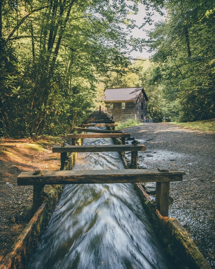
Mingus Mill has been around since 1886 as a water-powered mill for grinding corn. It was essential to the area! It’s an easy walk from the parking lot to reach the mill. You can also do a hike from here as well!
PS. Looking to spend more days in the national park? Extend your Blue Ridge Parkway Itinerary from Asheville at this point by adding more time in the Great Smoky Mountains National Park! You may spot a black bear or white-tailed deer among the foliage while you’re there, so be careful.
White Water Rafting
If you didn’t get a chance to do some white water rafting or kayaking in Asheville, here’s another great opportunity to do it! There are several outfitters in the area, but the most popular include Rolling Thunder River Co and Carolina Outfitters. The Nantahala Outdoor Center is the biggest in the area and also offers ziplining, tubing, and kayaking.
Nantahala Village
Tonight’s lodging is Nantahala Village, which provides comfortable lodging right in between the Great Smoky Mountains National Park and the gorgeous Fontana Lake area. For dinner, we ate at River’s End Restaurant, which is located at the Nantahala Outdoor Center. Their fish was excellent!
Fontana Lake or Lake Santeetlah

If fishing or boating is something you’re wanting to fit into your Blue Ridge Parkway itinerary, Fontana Lake and Lake Santeetlah are two favorites. You can learn about what you’ll find at Fontana Lake here or go ahead and join a guided fishing trip on Fontana Lake. Learn about Lake Santeetlah here.
Even if you don’t fish (like me) but are looking for great spots for sunset photography, you’ll find the prettiest views at Llewellyn Branch Boat Ramp at Fontana Lake (where we took the photo above. GPS coordinates 35.45102, -83.81927) or at Cheoah Point Boating Access at Lake Santeetlah.
Day 5: Small towns and waterfalls heading back to Asheville
If you’re heading back to Asheville or on to Charlotte, this Day 5 option is for you. (Greenville is further south, so going to the last two spots on this day’s itinerary is a bit out of your way, though still doable.)
Sylva
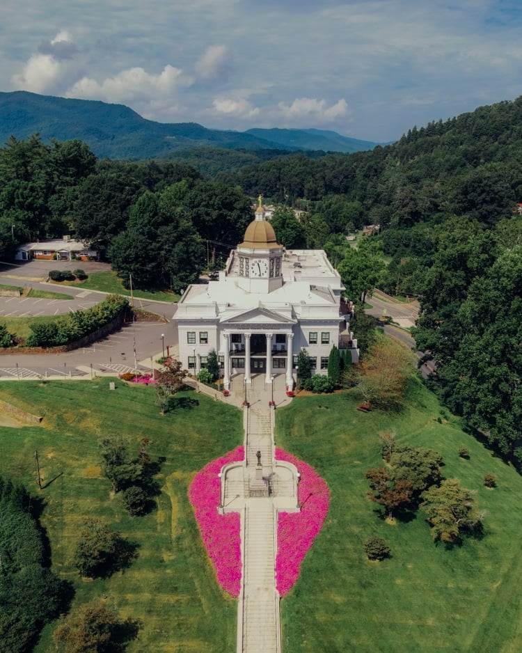
On your way back to Asheville, you’ve got to stop at what might be the most charming small town in all of North Carolina! I mean, just look at its courthouse! Three great breakfast options are White Moon Coffee Shop, City Lights Café, and Lucy in the Rye.
Blue Ridge Biscuit Company
You’ll be passing through Asheville on your way to the Upper Catawba Falls, so feel free to grab breakfast/lunch there if you haven’t already eaten. But if you want to explore Black Mountain, NC (near the next spot on this list), the Blue Ridge Biscuit Company is a great spot to grab some food!
Upper Catawba Falls
These striking falls require a longer hike than everything else on this itinerary, but it’s worth it for the incredible falls. We ran out of time to do this hike, but here’s what to know if you want to hike Upper Catawba Falls.
First of all, this hike has two parts to it. It is an easy 1.2-mile hike to get to the lower falls (the first part). From there, there’s a trail that continues from the right side of the lower falls that you can take to the even more photo-worthy upper falls (the second part). But do so at your own risk – people have actually died trying to get to the upper falls!
The stretch to the upper falls is very steep and slippery, located right next to the lower falls. There are ropes that help you at points since you’re almost rock climbing at certain spots! Because of the difficulty and danger of getting to the upper falls, that portion is not suitable for dogs or children. Though we didn’t get to do this hike, locals have said that when you reach a fork in the trail to the upper falls, go left for a slightly less difficult (but still difficult) trail to the falls.
From this point, you can drive back to Charlotte if that’s where you flew into! Or, continue on to wherever your next adventure takes you!
Blue Ridge Parkway Itinerary from Asheville Map
Here is a map of all of the points of interest on this itinerary! I’ve separated it out by day. You can open it and save it to your own Google Maps.
I’ve color-coded it as follows:
- Red – lodging
- Orange – food
- Green – observation point/road pull-off
- Light blue – waterfalls or water activities
- Dark blue – hikes
- Purple – other activities
Other Notable Destinations
Have some extra time and the need to fully explore America’s Favorite Drive? Here are other places to go to as you travel along Blue Ridge Parkway – in no particular order!
Shenandoah National Park
Starting at the northern tip of the Blue Ridge Parkway in Virginia, Shenandoah National Park is a fantastic location that offers stunning natural beauty along Skyline Drive. This spot is just 75 miles away from busy Washington DC (where I grew up!) and is definitely a refuge from the chaotic city life there!
At Shenandoah National Park, you can find cascading waterfalls, vistas, wildflower fields, and wooded hollows. It’s a popular hiking and camping ground, too.
Check here for info on fees and passes that are required to enter the park.
Linville Falls
Probably one of the most popular falls along Blue Ridge Parkway is Linville Falls. Starting off at the Linville Falls Visitor Center, you can follow trails near the center until you reach this three-tiered falls right over the Linville Gorge. Along the way, you’ll pass by four overlooks of the waterfalls where you can appreciate their beauty (and take pictures for the ‘gram, of course!).
Linville Falls doesn’t allow climbing on rocks or swimming in its waters, but it has a campground big enough to house 50 tent sites and 20 RV sites that are found on the banks of the Linville River. They also have designated picnic areas and fishing, making it an ideal destination if you’re in the mood for either activity.
The Blowing Rock
North Carolina’s Oldest Attraction, the Blowing Rock, continues to be a popular tourist destination. It actually overhangs Johns River Gorge 3,000 feet below!
From the area, you’ll be able to see other natural wonders – like Grandfather Mountain and Mount Mitchell to the west, and Hawksbill Mountain and Table Rock to the southwest.
You can join a self-guided trail that will take about 15 to 25 minutes since it’s approximately 0.5 miles long. This trail will take you through their Observation Tower, Robbins Ridge Trail, and finally, to the Blowing Rock.
You can check their business hours and admission rates here.
Linn Cove Viaduct
Considered an engineering marvel, Linn Cove Viaduct is right next to Grandfather Mountain and is actually a seven-mile portion of the Blue Ridge Parkway.
You can stop by here to take a peek at its bridge museum and visitor center found at the south end of the viaduct, or venture into a walking trail that’ll take you walking under and even beside the viaduct!
Mile High Swinging Bridge
Since you’re at Grandfather Mountain anyway, go ahead and stop by the Mile High Swinging Bridge for a fantastic burst of adrenaline (but make sure you reserve online first!)
Mile High Swinging Bridge is known for being America’s highest suspension footbridge that also offers you a stunning 360-degree panoramic view of nature all around you. You can also hike around the area – even under the bridge – if you’re a bit afraid of heights.
Peaks of Otter
Another popular tourist attraction for its offer of beautiful views and natural beauty, the Peaks of Otter is definitely a great destination along Blue Ridge Parkway.
You can check out the Visitor Center to buy some souvenirs and learn more about the parkway through its exhibits featuring its flowers and wildlife. There’s also Peaks of Otter Lodge with its 63 “green” rooms and a restaurant (temporarily closed, with operations set to resume from April 26), Abbott Lake which you can fish in (if you have a valid North Carolina or Virginia fishing license), and several hiking trails that you can take to stretch your legs!
Natural Bridge State Park
To see a great feat of nature, head on to Natural Bridge State Park to see The Natural Bridge, which was actually carved out by Cedar Creek! It’s definitely a great reminder of the force of nature, and a stunning natural attraction that looks great in photos!
While the main attraction of the State Park is seeing the 215-foot tall limestone gorge with an arch in person, there are also a lot of things visitors can do here. You can join sunset hikes or self-guided trails, which are listed here. You can also visit this page for info on park fees.
Mabry Mill
There’s no shortage of picturesque spots you can check out as you drive along Blue Ridge Parkway – and Mabry Mill is no exception!
Checking this place out feels like traveling back in time as you see the old mill and witness cultural demonstrations held there, particularly on weekends. Mabry Mill looks particularly pretty in spring and summer due to its flowers, so feel free to see this quaint wonder for yourself!
The Altapass Orchard
For something a bit different from the rest, you can also head on to the Altapass Orchard! This 100-year-old apple orchard offers heirloom apples, heritage information, and stunning views. Plus, they sell delicious sweets like ice cream, hot apple pie, and homemade fudge, which definitely makes the place worth checking out!
In conclusion…
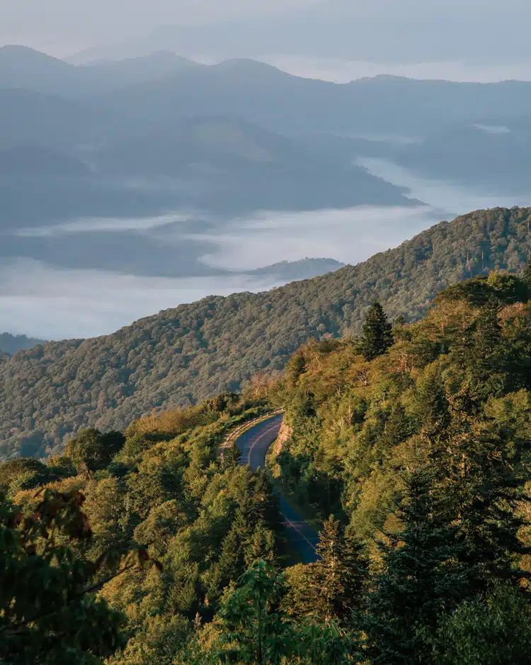
I hope you found this Blue Ridge Parkway itinerary from Asheville helpful!
If you’ve been to the Asheville area and have more recommendations, drop them below in the comments!
And if you have any questions about our trip, feel free to also comment below!
Safe travels!
Jasmine
PS. If you’re heading on a road trip through the Carolinas, check out this post on the best nature spots in Charleston or this Charleston and Savannah road trip itinerary!


One Response
Hello! Do you happen to have this itinerary And more of a bullet point format? There are just so many pop-ups getting in the way that hard for me to follow, but I can tell there’s so much great info! We are looking at an itinerary that starts in Asheville and we would eventually be driving back to cashiers, North Carolina. Thanks in advance!